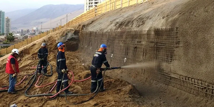
Warrington’s expansion from a Roman river crossing into a key industrial and logistics hub has left a legacy of varied ground conditions that directly influence modern development. The River Mersey carves its way through the town, creating a series of river terraces, while further south the land rises into the undulating glacial till country around Appleton and Stockton Heath. Any cut, fill, or retaining structure on these slopes demands a rigorous slope stability analysis to prevent costly failures. Our team has assessed the shear strength parameters of these local materials on dozens of sites, from warehouse extensions on Brown Street to residential projects near Walton Hall Gardens. We combine desktop geological review with site-specific investigation, feeding parameters into limit equilibrium and finite element models that reflect the real stratigraphy beneath Warrington’s post-industrial landscape. The output is a defensible Factor of Safety that satisfies both Building Control and the rigorous requirements of the Cheshire West and Chester planning authority. Before breaking ground on a sloped site, it is essential to understand the in-situ strength profile, which is why we often pair this analysis with a CPT test to capture continuous data through the variable drift deposits.
A slope stability analysis in Warrington is not about generic geology; it is about predicting how a specific band of sandy silt within the till will react to a 1-in-100-year storm event.
Common questions
What is the typical cost of a slope stability analysis for a residential plot in Warrington?
For a single residential development on a typical Warrington plot with a moderate slope, the analysis and reporting typically range from £1,140 to £3,590, depending on the volume of site investigation data available and the complexity of the required modelling. A site with existing borehole logs and lab test results will fall at the lower end, whereas a greenfield site requiring a full ground investigation specification and complex 2D finite element analysis will be at the upper end.
How does the Warrington boulder clay affect the analysis compared to other UK clays?
The glacial till in Warrington is heavily overconsolidated and often contains lenses of sand and gravel. This means its drained shear strength is relatively high (typically φ' = 28–34° with some c'), but it is also fissured. The analysis must account for the possibility of a fully softened strength along pre-existing shear surfaces, especially where the slope has been subjected to previous movement or stress relief from excavation. We use the residual strength parameters from ring shear tests on the till matrix for any section where pre-existing shears are mapped.
How long does the analysis and reporting process take?
Once the ground investigation data is finalised and the laboratory test results are received, the analytical modelling and reporting phase is typically completed within 10 to 15 working days. If the project requires a faster turnaround for a planning condition discharge, we can accommodate a 7-working-day express programme, provided the input parameters are clearly defined and the geometric survey data is available.