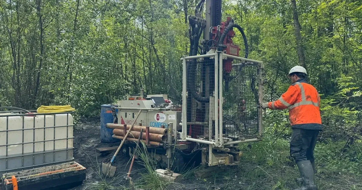
Glacial till overlies Sherwood Sandstone across much of Warrington. That sequence defines how foundations perform. Groundwater sits high in the Mersey floodplain, often within 1.5 m of surface. A soil mechanics study maps both the drift and the bedrock — we sample the cohesive boulder clay, measure sandstone weathering grades, and test shear strength where the interface matters. Without that data, you are guessing capacity. In Warrington, we have pulled cores from sites near Bank Quay and found 4 m of soft alluvium sitting directly on sandstone — a profile that demands careful bearing capacity checks. We combine borehole logging with triaxial testing to define drained parameters for the till, and CPT testing where the sequence is variable and you need a continuous resistance trace.
Glacial till over Sherwood Sandstone — a two-layer system that demands separate strength parameters for each unit before foundation design begins.
Our approach and scope
Ground conditions shift noticeably between the north bank and south bank of the Mersey. South of the river, around Stockton Heath, the sandstone is shallow — often struck within 2 m — and weathered to a medium-dense sand. North of the river, near Orford, the drift thickens to over 8 m of laminated clay with silt partings. That contrast changes everything: shallow pads work south of the water, but the north side demands deeper
footings or piled solutions. We log every borehole to BS 5930, recording consistency, weathering grade, and water strikes on the day. Lab work follows — classification tests, strength envelopes, and consolidation where settlement is critical. For sites near the Manchester Ship Canal, we often run
in-situ permeability tests to quantify groundwater flow before dewatering design begins.
Common questions
How much does a soil mechanics study cost in Warrington?
Budget £2,150 to £4,270 depending on borehole depth, number of exploratory holes, and lab testing scope. A straightforward investigation with two 10-metre boreholes and basic classification stays at the lower end. Adding triaxial tests, groundwater monitoring, or deeper rotary coring into sandstone pushes the cost up.
How long does a ground investigation take from start to finish?
Site work typically takes 3 to 5 days for a standard residential or commercial plot. Lab testing runs concurrently and takes 2 to 3 weeks. We deliver the final Geotechnical Design Report within 4 weeks of breaking ground.
Do you handle the traffic management and permits for drilling on public land?
Yes. We coordinate with Warrington Borough Council for road opening notices and traffic management plans. Our drill crews carry CSCS cards and the rigs are compliant with the New Roads and Street Works Act. We manage the paperwork so you do not have to.
What is the difference between a soil mechanics study and a simple site investigation?
A site investigation logs what is in the ground. A soil mechanics study interprets how the ground will behave under load. It includes strength testing, settlement analysis, and foundation recommendations — not just a log. For any structure larger than a house extension, the Building Control officer will expect the mechanics, not just the description.