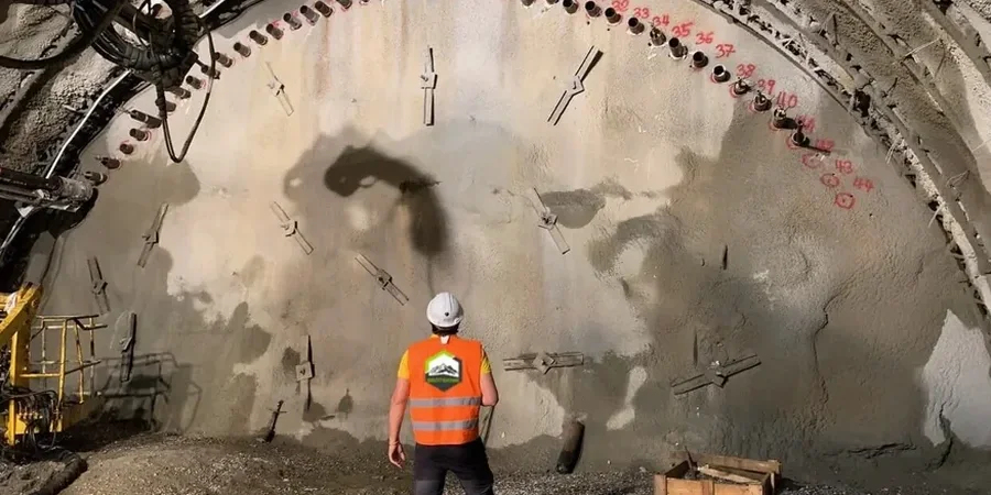
Warrington sits just 8 metres above sea level, with the Mersey cutting through its centre and a long industrial legacy layered into the ground. That combination of low-lying alluvium, historic mill foundations, and deep glacial till means every major dig here has a story beneath it. Over the last decade, the town has seen a steady rise in multi-storey residential blocks near Bank Quay and commercial basements around the town centre. With that kind of density, geotechnical excavation monitoring is not a box-ticking exercise — it's the difference between a controlled dig and an expensive surprise. We run real-time inclinometer arrays, vibration loggers, and groundwater standpipes across Warrington sites, feeding data to the design team while the excavator is still turning. When ground conditions shift mid-dig, our deep excavation engineering support kicks in to adjust the temporary works sequence on the fly.
Monitoring isn't about collecting data — it's about catching the 4mm movement that changes the temporary works sequence before it becomes a safety issue.
Site-specific factors
A 14-storey residential scheme near Warrington Central station ran into trouble when an unrecorded Victorian culvert, filled with waterlogged silt, collapsed into the excavation. The contractor had skipped real-time monitoring on the eastern wall, relying on weekly optical surveys. By the time the displacement was spotted, the adjacent pavement had dropped 70mm and a gas main needed emergency isolation. That single event delayed the project by 11 weeks and triggered a party wall claim that took 18 months to settle. The lesson is simple: in a town built on layers of industrial backfill and former watercourses, the ground does not give second chances. Continuous geotechnical excavation monitoring with automated alarms — tied directly to the temporary works designer's mobile — would have flagged the anomaly within the first 20mm of movement, allowing a controlled grouting response before the culvert fully unravelled.
Common questions
What does geotechnical excavation monitoring cost for a typical basement dig in Warrington?
For a standard 4-6 week basement excavation in Warrington, monitoring packages typically range from £580 for a basic vibration-only setup to £2,260 for a full suite including inclinometers, piezometers, and automated settlement markers. The final figure depends on the number of instruments, reading frequency, and reporting requirements. We provide a fixed-price proposal once we've reviewed the temporary works design and site constraints.
How quickly can monitoring instruments be installed once the contract is signed?
We usually have equipment on site within 48 hours across Warrington. Inclinometer casings and standpipe piezometers require a small drilling rig and are typically installed in a single day. Surface-mounted kit like settlement markers and geophones goes in the same morning. We coordinate directly with the principal contractor so the monitoring is live before the first bucket comes out of the ground.
What trigger levels do you set for vibration near Warrington's listed buildings?
We follow BS 5228-2 guidance, which sets a 10 mm/s PPV limit for transient vibration at buildings in good condition, and often reduce that to 5 mm/s for fragile or listed structures. The exact trigger levels are agreed with the structural engineer and local authority during the method statement stage. Our system sends an alert the moment any channel exceeds 80% of the agreed threshold.
Do you provide monitoring during piling as well as bulk excavation?
Yes. Piling generates different risks — mainly vibration and lateral soil displacement — so we configure the instrumentation to capture peak particle velocities during driving and any heave or settlement around the pile group. The same inclinometers and piezometers used during excavation are typically installed before piling starts, giving a complete record from the first pile through to the basement slab pour.