Warrington sits at a curious geological crossroads where the River Mersey has carved through thick sequences of glacial till to expose the underlying Sherwood Sandstone. Over 211,000 people live above this variable ground, and for any engineer planning a structure taller than two storeys, the stiffness profile of the subsoil is the first question that needs an answer. The average VS30 value across the borough can swing from 220 m/s on softer alluvial pockets near the Woolston banks to over 500 m/s on the compacted boulder clay that caps the higher ground south of the Manchester Ship Canal. Multichannel Analysis of Surface Waves—MASW—provides a direct, non-invasive measurement of the shear wave velocity profile, giving us the VS30 figure required for Eurocode 8 seismic classification without the cost and disruption of a borehole campaign. When a site straddles the transition between the till and the sandstone, combining MASW results with a targeted CPT test helps tie the geophysical model to a direct penetration resistance, ensuring the velocity model isn't floating in isolation.
A VS30 value isn't just a number for the checklist—it's the single parameter that determines whether your Warrington site falls into ground type C, D, or E, and that decision drives the entire seismic design spectrum.
Site-specific factors
Two sites in Warrington separated by less than a mile can land in completely different seismic classes. A project near Sankey Valley Park, where the alluvial silts run deep, might return a VS30 of 190 m/s and be assigned to ground type D, triggering a higher design spectrum ordinate and more demanding detailing requirements under Eurocode 8. Move south to the sandstone outcrop around Stockton Heath, and the same MASW survey could yield 450 m/s—ground type B—cutting the seismic base shear coefficient by a meaningful margin. The biggest risk we see is an engineer defaulting to a conservative ground type without evidence; the cost penalty in reinforcement and foundation dimensions can run into five figures on a mid-rise frame. Conversely, assuming rock conditions without verification is worse. A single MASW line across the building footprint, ideally oriented parallel and perpendicular to the proposed foundation axes, resolves the ambiguity and gives the structural engineer a defensible VS30 value to submit to building control.
Common questions
What does a MASW survey cost for a typical Warrington residential plot?
For a single-building plot requiring one or two MASW lines and a signed VS30 report, the fee ranges from £1,270 to £2,700 depending on the line length, access conditions, and whether we combine it with a refraction survey. The final quote is fixed after a site visit—there is no charge for the initial walkover and proposal.
How long does the field work take, and will it disturb my neighbours?
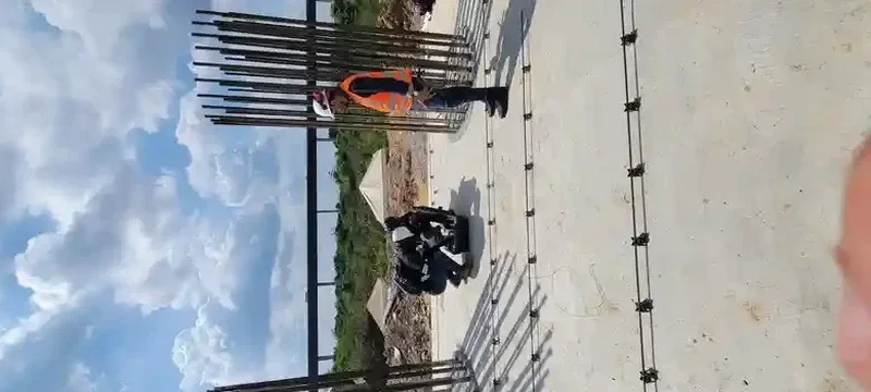
A standard two-line MASW survey on a cleared plot takes about three hours. The energy source is a 10 kg sledgehammer striking a plastic plate at ground level; the impact produces a short, low-frequency thud that is considerably quieter than a piling rig or even a tracked excavator. We notify adjacent properties as a courtesy, and the crew leaves the site clean and undisturbed apart from the geophone pin marks, which heal within days.
Is MASW accepted by Warrington building control for seismic site classification?
Yes. MASW-derived VS30 values are explicitly accepted under BS EN 1998-1 as a valid method for assigning ground type, provided the survey is executed and processed in accordance with the guidelines in BS EN 1997-2. Our reports include the full dispersion curve, inversion parameters, and a statement of compliance that building control officers in the North West region recognise. For larger schemes we sometimes supplement the MASW with a single borehole to satisfy the minimum investigation point requirements of BS 5930, but for the seismic classification itself the surface wave data is the primary evidence.